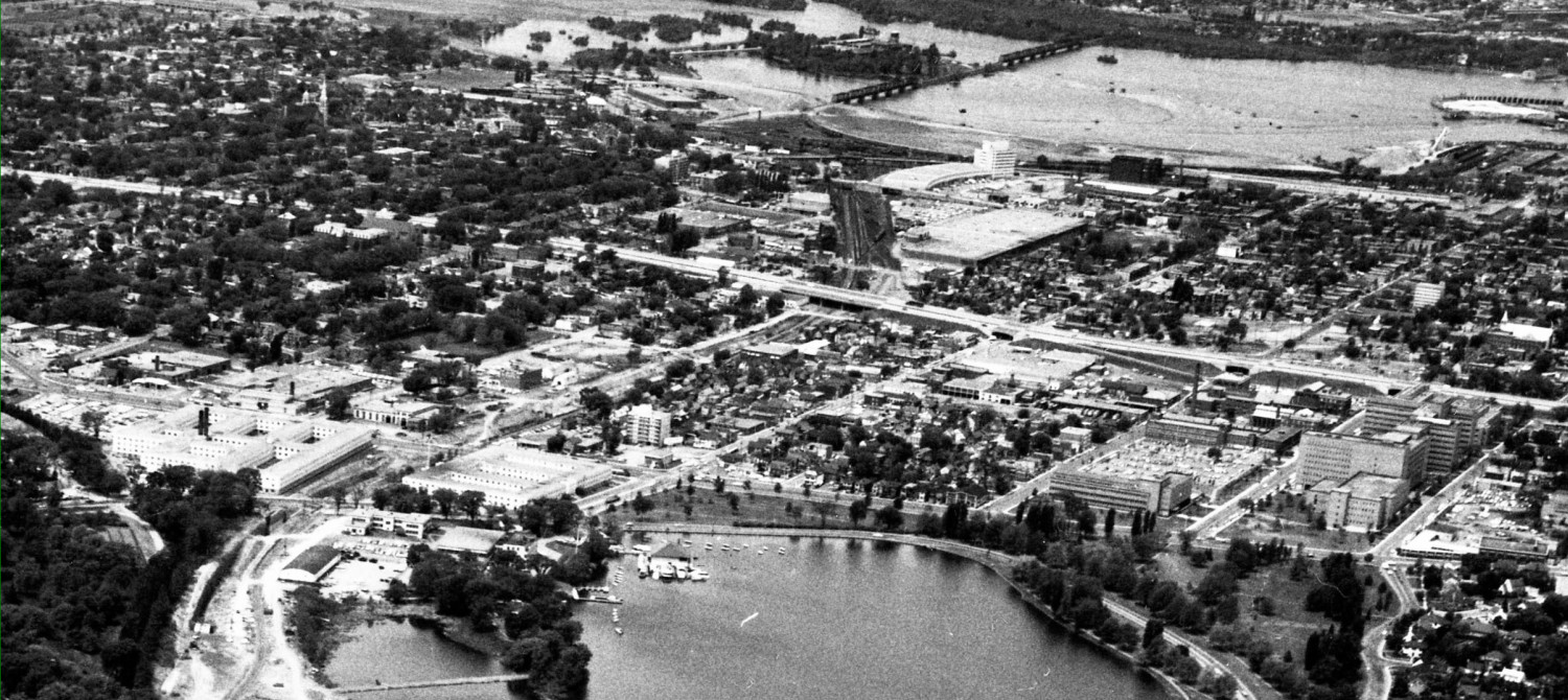
What has happened in the two weeks since worked started on the new multi-user path (aka MUP, or bike path) running from the Macdonald Parkway by the Prince of Wales Railway Bridge south to Bayview Station, behind City Centre Building, to the new underpass under Somerset Street? (First post can be read at http://westsideaction.wordpress.com/2012/08/28/construction-on-new-west-side-bike-path-begins/ ).
From the Macdonald Parkway viewpoint by the Ottawa River, not much has changed in two weeks. Most of the work has been going on south of the Parkway, towards Bayview Station. The contractor graded an alignment for the path, here seen looking north from Bayview Station towards the River:
Most of the work this week has been right behind the City Centre warehouse building. This area was heavily overgrown with naturalized vegetation, aka weed trees, and looked like this:
The contractors scraped away all the trees and growth into piles, and trucked it away:
Leaving this flat empty tableau onto which the city will create a wonderful new place (we hope):
Above: note that there used to be a railway siding along the back of the building, under the arcade, so that rail cars could unload directly into the building and stuff would leave out the parking-lot-front doors via trucks. Most of the loading docks are no longer used, but a few are used for trucks, garbage, storage, or employee smoking lounges.
Rather than fence off this somewhat grotty area from the public path, which would create two mutually isolated zones, the PAC agreed that large boulders would keep the two spaces linked, and feeling safer, while limiting / preventing vehicle movements and of course, preventing the illegal dumping of whatever that has been going on for the last twenty years. The area under the arcade is being cleaned up, as it is more visible.
Here is the stockpile of rocks: (By the way, the rocks are about $250 each, which is apparently way cheaper than constructing a chain link fence).
The contractors move the rocks around with large power shovels:
And here are some put in place between the concrete pillars of the arcade. Anyone can walk/ride/drive around the second floor rear deck of the City Centre building to get a great look down at the construction progress; braver souls can ride their bike all the way around the City Centre building along the former railway track under the arcade:
By midweek work had also commenced on relocating the chain link fence that runs between the OTrain track and City Centre building. The fence was not on any lot line, it just sort ran at random through the middle of the city-owned space. The OTrain folks wanted a 20m right of way to the east of the existing track, to allow for a second track and for servicing. The PAC wanted as much space as possible to go with the new path, for a better sense of safety, openness, and eventually, landscaped parkland.
The trees and plants were removed (all these had grown up since the city denuded the area in 2000 for the initial OTrain trial). Concrete jersey barriers and construction fence is then put in place parallel to the track. Yet to come, new chain link fence to separate the train from the cyclists (the fence comes out of the cycling budget, not the OTrain budget):

Above: two sets of lights are now on-site, which suggests they are planning some overtime work into the evenings.
Meanwhile, much further south, red stakes mark the pathway location both north and south of Gladstone Avenue:


Hi Eric,
I like your blog a lot- I always enjoy reading your throughtful and analytical pieces. I know its not eaxctly within the confines of Ottawa’s west side but would you consider writing a post on the status of the Gatineau Rapidbus and the Prince of Wales rail bridge upgrade, etc? There has been so much talk about bridge traffic over the last few years, with almost never a reference to the potential for getting cars off the road via the Prince of Wales bridge-Rapid-bus-O-train/transit way connection. I think some info on the status of the Rapid Bus project and the barriers to making the Prince of Wales bridge vehicle ready could be really interesting.
Anyway, just a thought. Keep up the great work.
I’m hoping they have plans to get rid of the curbs at Preston and Beech? And a crossing at Carling?
The curbs at Young and MUP are to be modified, details unavailable.
The NCC path from Young to Carling will be widened and paved, but its not part of the current contract. We have certainly made the city aware that curb cuts are required at Beech. A half light (traffic signal) has been agreed to at Carling, but only as part of the Carling reconstruction from the OTrain to Bronson, which has been put off for a number of years and Carling given a topcoat of asphalt. The City’s preferred option is to cross Carling, and then run the path along the grass back to Preston, south to POW intersection by HMCS Dows Lake, cross at the existing intersection where the Arboretum pathway comes out.
I think there are better alternatives, but the City is pointedly not asking for input.
Re Christopher and the Gatineau Rapidbus.
I travelled to Gatineau last week and there was a lot of construction taking place along the rail line that leads north from the PoW bridge. At Rue Montcalm it appears they have removed the tracks and are in the process of creating something akin to the transitway on the Ottawa side. No information on the scope of the system, destinations etc.