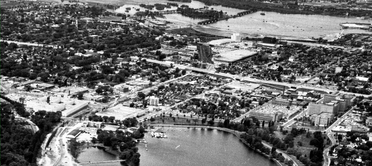
Shown is the Dequindre Cut, a former sunken rail line running through downtown Detroit. The St Clair River is in the background, with Windsor on the far (south!) side.
Detroit is reserving some of the cut for a future LRT line, but first it has built a bi-directional bike route and accompanying pedestrian path, with landscaping. Because the path is grade-separated from the street grid it is fast, direct, intersection-free, and has freeway-style on and off ramps that take cyclists in and out of the cut.
Detroit feels it is lucky to have a straight-line bike path going directly through the heart of established neighborhoods directly to the downtown and the riverfront recreational lands.
Do you notice the similarity to the Scott Street alignment where we built a sunken bus transitway 25 years ago and where we are now looking at a proper bike facility BikeWest? Do you notice the similarity to the OTrain cut where CPR lines were burried in 1960, where we have demo rail service but alas, still only bits and pieces of a bike route? Will the new LRT line that crosses LeBreton Flats just south of the current transitway be a stand-alone feature or will it have an accompanying grade-separated bike route into the downtown core?
We may get the BikeWest route someday, or the Cyclopiste de Preston, but only if we nag or politicians that we want first rate bike facilities and not just pretty signs nailed to telephone poles on the sides of roads.


