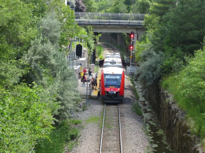
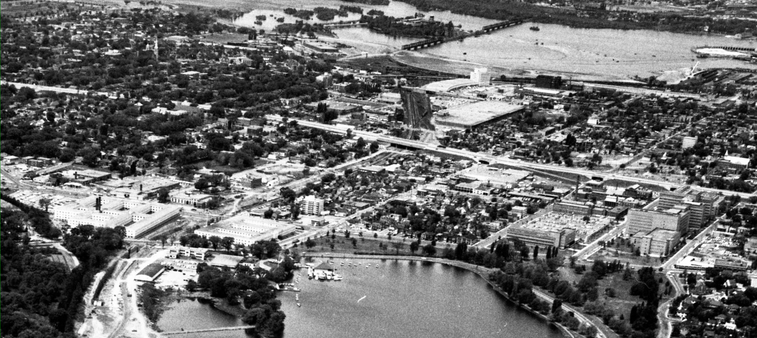
So the city “wants” to extend the Trillium Line south a bit further, almost but not quite to Riverside South suburb. Alas, it can’t afford the cost.
Sob. Sob.

Let me suggest that it is eminently affordable, the city has just forgotten how to do things incrementally. Society didn’t build the Queensway as a multi-lane freeway to Kanata all at once. We built it to Woodroffe first, then Bayshore, then Moodie, then Kanata, and we not only was it expanded in increments, it was extended first as a two lane road, with a reserve off to the side, to construct the second direction lanes in the future. When that day came, as “demand” for the road service increased, the other lanes were built and we had a divided highway. I vaguely recall there used to be signalized intersections on that “limited access road” for a number of years, until eventually replaced by grade separated interchanges.
You know, incremental growth.
But when it comes to the Trillium Line, our city fathers and mothers have decided that it is to be World Class ™ grade-separated from day one or you can’t have it.
Here is a modest proposal. Build the line grade separated only where necessary today. I don’t know how far that is, certainly past Hunt Club Road, but I’m rather vague as to just how busy the roads are further south. But I gather some are low volume.

From that point, simply convert the existing tracks or build new ones for the southward extension at grade. Reserve a wide right of way beside the tracks for a future alignment location that is fully grade separated to out behind the airport to Riverside South. When that happy day comes, and the twin-track grade-separated line is needed and built, release the original single track alignment back to adjacent land uses. Since some of that reserve for future grade-separated double tracking is through lands not slated for urban development, it isn’t exactly onerous or expensive to tie up the land for 20 to 30 years until the next recession opens the floodgates of federal dollar stimulus. Of course, for some lengthy segments, there would be no need for a completely new parallel track right of way, it is required mostly at the approaches to the overpasses.
Although a fully-parallel right of way, should we wish, would allow the city to do a really cheap expansion today using existing jointed track and then eventually build the parallel track to a higher standard, rather than continually closing down the line “for upgrades” to the signals or switches or bridges. Just like we expand the Queensway today. Or built Hunt Club Road. Without closing these major roads for two years whilst we do construction.
We seem to have fallen victim to mega-projectitis, and forgotten how to do incremental growth.
What about safety?
The grade-separated segments, closer to the city, carry higher volumes of people, with more frequent trains, at higher speed. So design it like urban transit. Beyond the fringe, build suburban transit, where the OTrain would operate more like a streetcar, with signalized intersections where it crosses roads. If you have forgotten, go back a few stories here to discover how to make safer track crossings: https://www.westsideaction.ca/about-those-barrhaven-underpasses/ https://www.westsideaction.ca/about-those-barrhaven-underpasses/
These signalized crossings might look like rail crossings with flashing lights, but I’d prefer they be treated more like regular traffic intersections, like the transitway used to have at Booth or Empress and still does at Iris. This may mean lower average speed for the transit vehicles out the in the boonies, but that merely gives riders more screen time. Get with the times, install on-board WiFi.

The existing Trillium Line started as an experiment with an unwilling OCTranspo and unbelieving transportation department. The little train that could, it continually defies ridership predictions and a concerted rear-guard action at city hall to thwart its usefulness (this latter belief strongly held by certain train transit aficionados; but is cheered on by certain superannuated journalists).
The grand fully-grade separated southward expansion plan may be a ploy to milk the feds and province of dollars, or it may be because we have forgotten how to do things incrementally. But if the plan is because we believe in transit and want transit, then it is doable now. Affordably. Incrementally.


First, a couple of minor corrections:
– The headways along the entire line will be the same. There is no section planned to have less frequent service because it is the far end of the line that will be generating the most passenger traffic (incidentally, this is the same reason the operation of the airport branch has been difficult to plan).
– The Trillium Line is a federally regulated railway. Crossings therefore would have to be of the railway type, not just a streetcar style intersection.
That said, my larger concern (which fits in with your idea of building in increments) is the continued reliance on a single tracked system. It sort of worked for the original pilot project. It didn’t work at all when they attempted to double the frequency of service. Now we want to extend the same dysfunctional service further south, replicating the parts that aren’t working.
It strikes me that the way to “build in increments” for our north-south line would be increasing the amount of double track. If we double-tracked north of Carling, and south of Heron it would leave the expensive tunnels and river crossings for later. It would fix the frequency problem (allowing trains to run up to every 6 minutes). It would also fix the airport problem as Riverside South doesn’t need a train every 6 minutes, so there would be capacity to run the Airport trains to Bayview. We could then extend the line a station at a time closer to it’s ultimate southern destination as funds permitted.
Unlike the east-west line which will have to contend with extremely high ridership from day one justifying the mass build-outs, the north-south line is pushing into a developing community. It can grow slower as the community develops.
Todd: some day, Riverside South may generate the majority of traffic, but that is a long way off. I think it is reasonable to run every second train to the airport, and the other one to Riverside S. as neither destination justifies six minute service yet. The biggest stops will continue to be Carleton U and Greenboro for quite some time yet.
That’s my point – with the current design, 12-15 minute headways are the best we can hope for and that is what is needed to serve Riverside South, hence the airport issue in the current design. Better to build in the ability for increased capacity now and then get to work on the incremental extensions.
I think the above comments both make excellent points, and any sane person can only agree with them. Will the city “rail experts” even listen, that is less evident. By the way the ” railway rules ” are also negotiable by anyone with a bit of hutzpa. Where there is a will etc…
How about the Gatineau solution, use railway right of ways for buses. I don’t see why expensive trains need to be built to encourage sprawl. Also LRT to airport is a strange idea. The trip from downtown is now 35 min. with no transfers, with LRT it will be 40 min. with two transfers and a big capital cost. Montreal seems to be doing well with bus service to the airport even though there is commuter rail beside it.
Maybe some day an incremental LRT line will be built to service us suckers in the city core who are subsidizing all these LRT extensions to the suburbs.
This is the city that didn’t see the second phase of the LRT coming and built a bridge out of styrofoam that you can’t put a hole for the train through. OC Transpo will still be putting through a large number of buses at the station for a number of years and they will most likely want that second exit. Especially during rush hours. So we’re most likely going to be paying for a new bridge to be installed.
I agree with you completely. We should be building these things as we can afford them and need them. But the local government has shown little common sense. Or else we’d have a connect to the airport as it would just be replacing the buses that currently run there.
As an aside, do you know if the new bus shelters that were going up at Tunney’s are permanent as part of the LRT? Or is the city just wasting money by replacing shelters with only a year to use them? I was by there a few weeks ago an they were putting them in. I would have thought that people would have caught the buses as part of the upper level of the station.
Reid: the western end of Tunney’s has a bridge or causeway made of styrofoam with a road on top because it is temporary, and the bridge will be removed when the station is finished.
At various times, there was and wasn’t a new concrete bridge to connect to the bus station part of the complex. I think that there is a permanent, new bridge being constructed, but I’m vague on that.
The bus station will be in use as a major transfer point until 2023, officially, maybe a year or two longer depending on scheduling. It seems really useful to have bus shelters installed for that time period. After the express bus connection goes away, the bus station will be used for regular city routes that feed people into the LRT line. It may stay that size, or shrink a bit, who knows, the city isn’t exactly forthcoming with station plans. If the station shrinks, the bus shelters can be unscrewed from the concrete and relocated elsewhere.
As for knowing what the city is doing, the philosophy seems to be: Keep the public yobs out of the way, sort of thing.