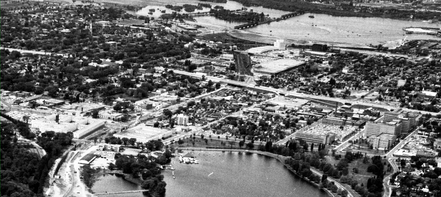
At Monday’s public open house, city planners will unveil the final system plans for the DOTT and LRT facilities to be constructed as the first phase of a city-wide sytem. The western terminus of the LRT will be at Tunney’s until the LRT is extended west. A major bus transit to LRT facility will be constructed at Tunney’s.
The current bus station is in the cut immediately west of Holland Avenue. The new station will be in the same place. The earlier plans for a centre platform LRT station have been scrapped, to avoid having to widen the cut under the Holland overpass. Instead, there will be two side platforms, just like now. The new platforms will be wider than they are now. The two tracks will extend a few hundred meters further west than the station platforms, to allow for the storage / positioning of extra rush hour trains, for switching trains from one track to another, and for any “dead” trains that need to be sidelined until they can be removed in the quiet hours.
The existing transitway bus shelters, 25 years old and badly rusted, are nearing the end of their life, and will be scrapped. A solid flat roof, level with the top of the cut, will be constructed as the new roof for the platforms. This roof will be much higher than the current shelters. The solid platform roofs will be joined over the tracks by a glass roof section, making the whole station somewhat indoors, but open at the ends for the trains. The platform waiting areas will not be heated, but will be “tempered” from the extremes of hot and cold. There may be heated areas within the station, somewhat similar to the heated shelters at some existing transitway stations. The new roofs of the platforms may be “green roofs” (planted).
On the north side, the platforms will access a new tunnel access extending north and then up to an island platform for the bus transfer station. This will look somewhat like the current Hurdman transitway island station. Most arrivals and departures will occur from the north platform. The south platform will be used at rush hour and in the future when the LRT service is extended west to Lincoln Fields. Users on the north platform will be able to access the south platform when necessary (there will be TVmontiors to advise users which track will have the next train) via an overhead walkway or directly across the tracks at grade at the west end of the station.
The current pedestrian crossing of the transitway cut is deemed too narrow for the anticipated volumes of pedestrian traffic. It will be replaced by a new crossing, about 3x wider than the current one. The planners hope to keep the current elevator shafts, and maybe even the “buildings” at each end of the current bridge.
Buses on the transitway can currently climb up out of the cut at Tunney’s. This access road will be relocated several hundred meters west, and made more gentle, as all transitway buses will have to exit the cut to the new transfer station at Tunney’s.
The transfer station at Tunney’s will receive huge volumes of traffic during the first phase of the LRT project, because allmost all bus passengers will transfer to LRT at Tunney’s. The station is busy for accessing the employment node as well. Once the LRT service is extended further west in 5-20 years, the facilities will continue to be used for a more intensely developed Tunney’s employment node and as a major transfor point for local bus services delivering passengers the line-haul LRT service. Local bus service east-west will be further reduced in favor of delivering N-S passengers to the LRT spine.
Planners have identified the east-west cycling route as passing directly in front of the station doors facing Scott Street, and continuing along the street level bus stops. This is exactly the same unsatisfactory situation as cyclists currently face when passing Tunney’s. It is dangerous for cyclists, for pedestrians, and buses. There is a better way, which will be the subject of another post.


